.MYDX 2026. Powered by MYNIC
Please rotate your device
Loading


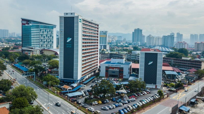
JUPEM, Malaysia's Department of Survey and Mapping, is the nation's guardian of land boundaries and cartographic precision. Imagine a vast map unfurling across the country, meticulously annotated with the intricate details of every property and parcel.
They conduct crucial land surveys, ensuring rightful ownership and development. Their expertise extends to creating detailed maps, from topographic terrain to urban streetscapes, guiding navigation and infrastructure planning. JUPEM also wields the authority to define Malaysia's borders, safeguarding territorial integrity with meticulous accuracy. From bustling cityscapes to remote rural landscapes, JUPEM's invisible hand shapes the very foundation of Malaysia's spatial identity, ensuring every inch is measured, mapped, and understood.
Be the first to review.